HAPTIC R&D CONSULTING SRL is an engineering consulting and trading company providing the most advanced engineering equipment technology. The company’s goal is its customers’ target in a future visionary way to create a synergy business bridge between SME’s companies and R&D laboratories to merge together in revolutionary and innovation projects.
Bringing new advanced technologies to the marketplace by accessing EU Grants such HORIZON 2020 one of the biggest fund in Europe. Road Infrastructure plays key role in nation building. The thrust in providing quality road infrastructure around the world has witnessed several innovative approaches to achieve quality and speedy completion of road projects.
Primarily road development can be broadly categorized in three segments, Greenfield. Once the infrastructure is built, systematic management of the pavement and assets in the corridor is vital for the proper management of the infrastructure and judicial utilization of available funding. ‘Total Corridor Asset management' is the essence to manage vast network. This is a strategic process of operating, maintaining, upgrading and expanding physical assets using sound business and engineering practices for appropriate resources allocation.
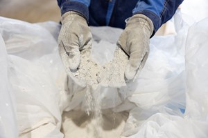
In all these segments, collection and decimation of information holds key to optimize time and resource. Opting for right technology at right time, helps in making smart investments in maintenance that can save heavily on major interventional investments and maintains the transportation corridors at their best performance at all times. In this segment, our business partner has developed a technology which will cater for the above need.
HAPTIC company business partner Integrated Road Information System unites two decades of experience in the Infrastructure industry with modern technological developments, to deliver a robust system for seamless data acquisition and tool for interpreting the data to meet the needs and schedules of modern projects. The system consists of various sensors that can be integrated on any mobile mapping vehicle and offers the flexibility to mix and match sensors as per the project needs. The primary sensors are the Pavement Scanners – PPS or PPS+, a corridor profile scanner– CPS and a Camera system.
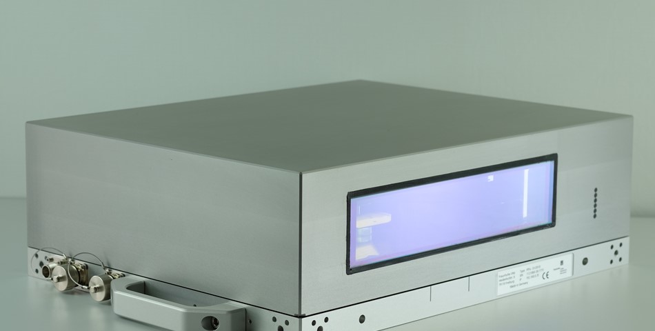
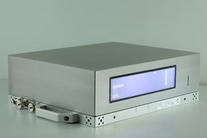
These sensors are controlled and united by the Mobile Mapping Software Suite to accurately map at high speeds. The 3D Pavement Surface LiDAR System i.e. Pavement Scanner (PPS) has been specifically developed for Road Condition Assessment completely independent from limitations regarding the speed of the mobile survey platform while offering utmost measuring accuracy in the submm range.
The system can detect the smallest evenness irregularities of the pavement surface and comes with a software solution to generate full 3D road surface models. The laser scanner measures with hitherto unachieved precision and speed. The scanner is barely larger than a shoe box, and can flexibly be mounted on a measuring vehicle. The scan provides a three-dimensional model of the road surface.
The laser scanner measures with hitherto unachieved precision and speed making it the industry’s most precise and economic solution for measurement of defects and modelling of the surface to enhance safety and life of the assets.